*Place cursor over map to magnify
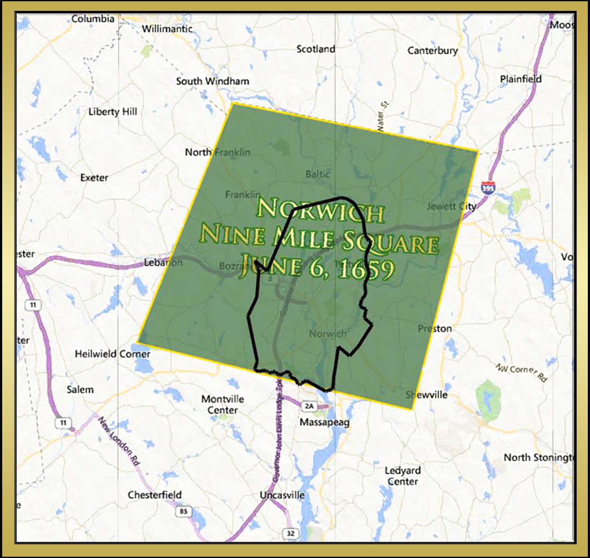
The map above shows the location of the original nine-miles square, as it was defined on the 1659 deed to Norwich. The present-day boundary is also shown as a black outline.
The area of the original nine-miles square was approximately 122 square-miles and today’s Norwich encompasses approximately 30 square-miles. Thus, the original boundary of Norwich included far more land than today’s boundary.
To learn more about the individual four cornerstones of the nine-miles square, click the button below.
Acknowledgements
“History of Norwich, Connecticut: From Its Possession From the Indians, to the Year 1866”, pp 57-58, by Frances Manwaring Caulkins