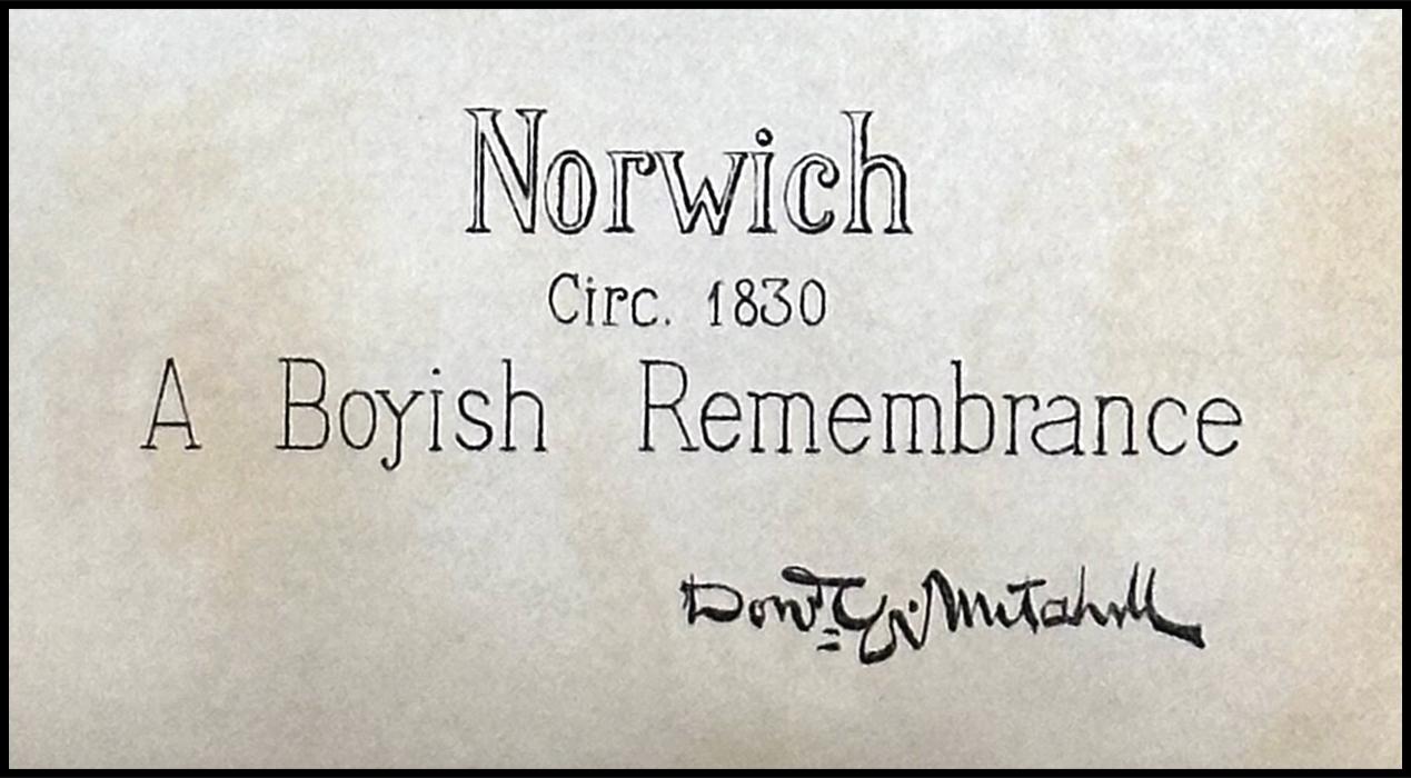
This map was drawn by Donald G. Michell in 1895 from his childhood memories of Norwich in 1830. The map is provided in the inside front cover of Mary Elizabeth Perkins, 1895 book, “Old Houses of the Antient Town of Norwich, 1600-1800”
The map illustrates the location of several places described in the book and in Frances Manwaring Caulkins’ book, “History of Norwich, Connecticut: From Its Possession From the Indians, to the Year 1866.”
It is interesting to note that the map shows the precise location of “No-Mans Acre.”
“Old Houses of the Antient Town of Norwich, 1600-1800, (1895), inside front cover, by Mary Elizabeth Perkins. Photographed original book courtesy of Norwich’s Otis Library.